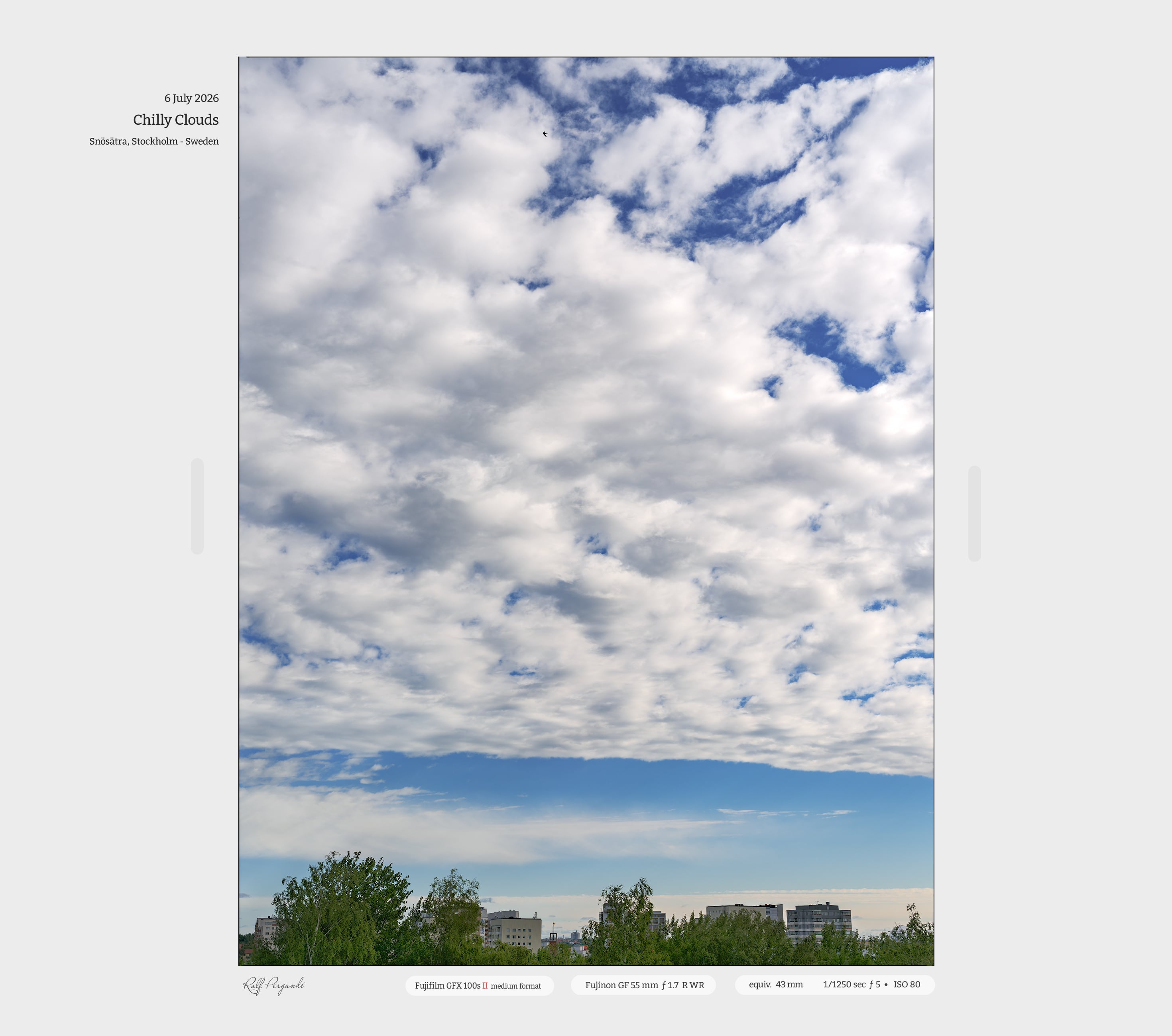
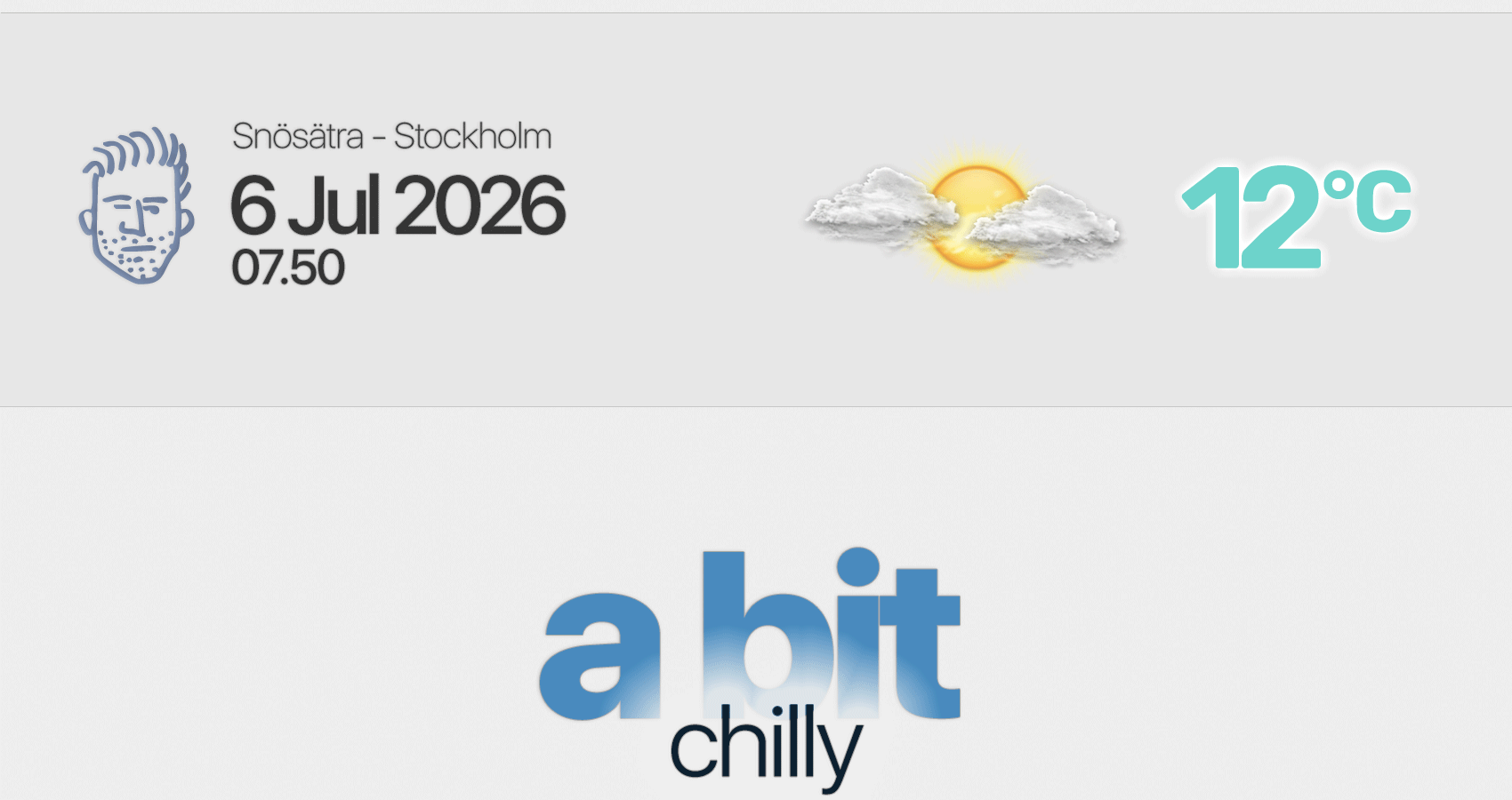
The weather feels a bit chilly this morning - albeit in the early morning hours the sky was clear. As the sun rises further, some clouds emerge.
I even see a T-storm cell west of Stockholm - belonging to a fait line of disturbance - which might get activated as more energy through the warming sun fuels it. No clue, if it will reach Stockholm. [It is dissolving on its way southeastwards]
In any case, you can feel that a cold front / occlusions front went though our lands yesterday, with numerous thunderstorms - and now being a bit on the chilly side. Also the winds have picked up, with a light touch of "autumn" sound.
Yesterday; The third most lightning prone day
has been registered over Sweden (Season 2026 this far) - but with a difference, that the activity was widely scattered across Sweden / large areas of Sweden, e.g. not just a few concentrated areas.
When you look at the Stockholm region, it shows that the T-storm where more intense there. Well come on - 4 hours of thunderstorms - which certainly doesn't happen often. I can't even remember in recent years having had 4 hours of thunderstorms.
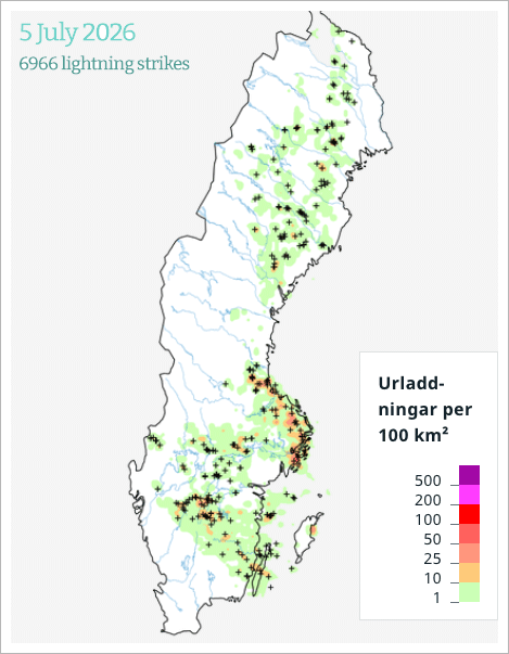
SMHI; 10.000 lightning strikes over Sweden
• Over Djurö, an island in the Stockholm's archipelago, reported heavy hail storms.
Kind of weird is the following; DN ("Dagens Nyheter") writes that Swedish SMHI registered 10.000 lightning strikes over Sweden
- 'At around 6 pm, the authority reported that over 10,000 lightning strikes had hit the country on Sunday'
Yet, at the same time, SMHI shows 6966 lightning strikes been registered over Sweden yesterday.
So, which is it then ?! |