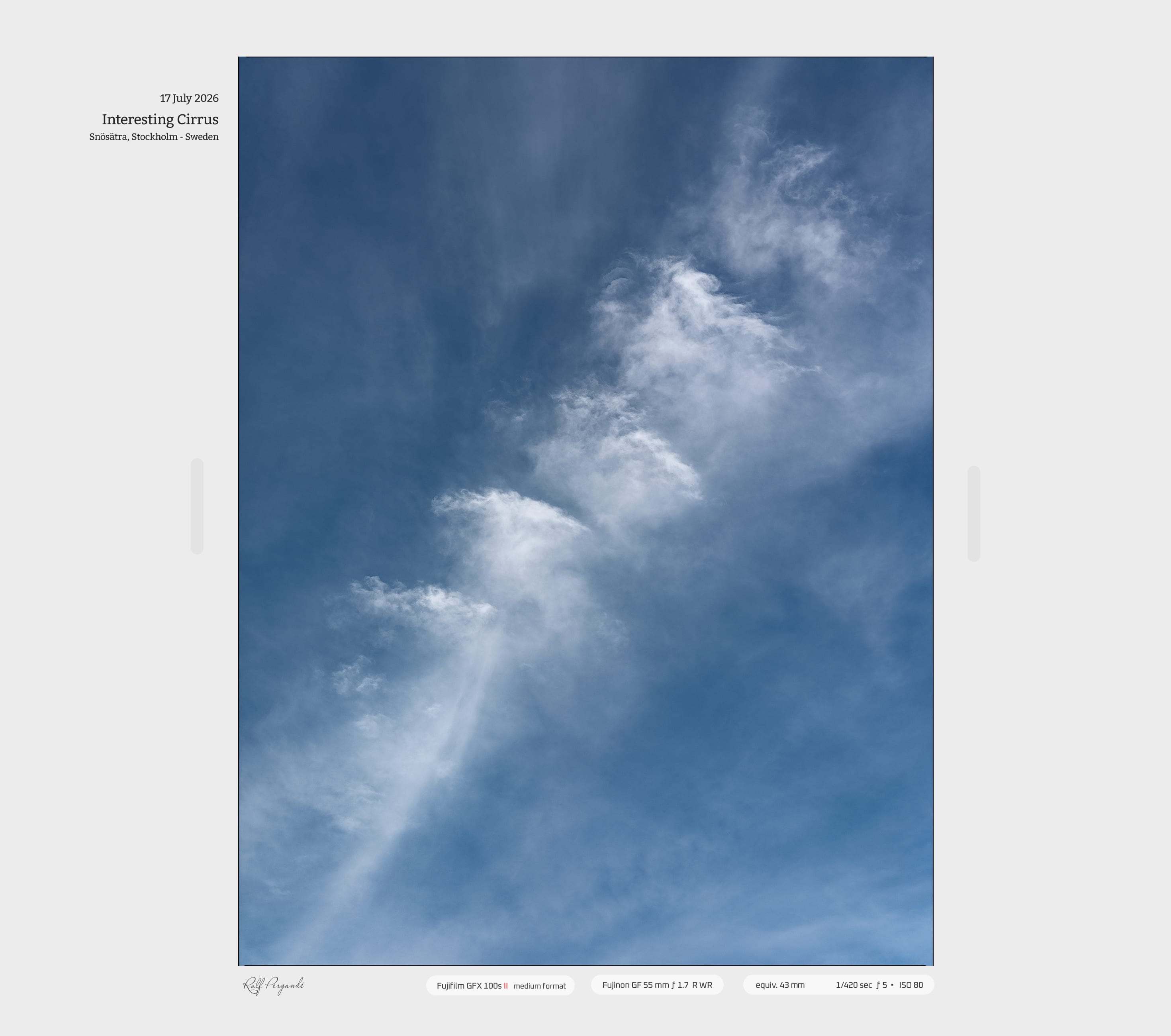
Nothing is really happening. We seem to be still within the warm air of the growing low pressure area (which i feel is very diffuse and hard to pinpoint).
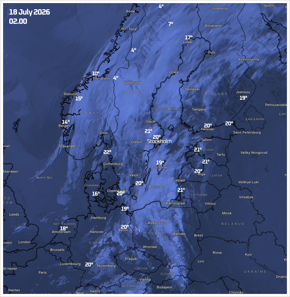
Plenty of thunderstorm showers have been popping up all across South and Middle Sweden and Norway - but nothing over the East of Sweden and Stockholm.
Neither T-storms nor rain.
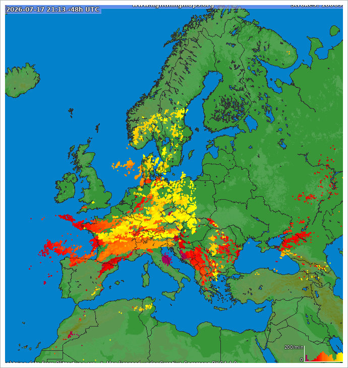
Lightning strikes 0-48 hours back in time
There is a relatively small area
of rain just south of the island of Gotland. It appears to pass by Stockholm without touching the city in the following hours. Or so, it looks like it to me.
We shall see.
Maybe it is the backside of the developing low, which brings us rain and cooler air. In fact, the air has been hot and pushy yesterday. It is still very warm, and difficult to find any deeper sleep.
Alternatively that the low area over Poland on its way towards Finland may activate stronger in the morning, bring the rain it has been predicted. (SMHI did however lower the amount of expected rain a bit later, from 25 to max 10 mm rain).
In any case - it will be needed !
32.0°C in Uppsala
Uppsala, the town north of Stockholm, registered the highest temperatures in Sweden with +32.0°C yesterday
Drama Queen Prognosis
Oh dude, 2 mm rain fell in Stockholm. Wohoooo. Impressive. (Where are the 25 mm.. or 10 mm ?!) So much for the drama prognosis warnings.
*rolling my eyes*

|