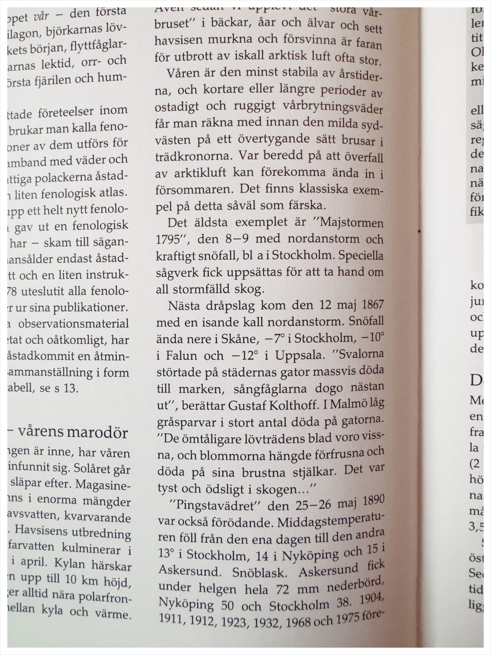
Even after we've experienced the "great spring rush" in streams, creeks, and rivers and seen the sea ice melt and disappear, the risk of an influx of freezing Arctic air is often high.
Spring is the least stable of the seasons, and one must expect shorter or longer periods of unsettled and gusty transitional weather before the mild southwesterly wind convincingly rustles through the treetops. Be prepared for Arctic air intrusions to occur well into early summer. There are both classic and recent examples of this.
The oldest example is the "May Storm of 1795," which occurred on May 8–9, 1795, bringing a northerly storm and heavy snowfall, including in Stockholm. Special sawmills had to be set up to handle all the storm-felled timber.
The next severe blow came on May 12, 1867, with a bitterly cold northerly storm. Snow fell as far south as Skåne, with temperatures of -7° in Stockholm, -10° in Falun, and -12° in Uppsala.
"Swallows fell dead in droves onto the streets of the cities; songbirds nearly died out," - recounts Gustaf Kolthoff. In Malmö, large numbers of gray sparrows lay dead in the streets.
"The leaves of the more delicate deciduous trees were withered, and the flowers hung frozen and dead on their broken stems. It was quiet and desolate in the forest…"
The "Pentecost cold snap" on May 25–26, 1890, was also devastating. The midday temperature dropped from one day to the next by 13° in Stockholm, 14° in Nyköping, and 15° in Askersund. Snow squalls. Over the weekend, Askersund received a total of 72 mm of precipitation, Nyköping 50, and Stockholm 38.
Similar storms occurred in 1904, 1911, 1912, 1923, 1932, 1968, and 1975.
Most recently, on June 12, 1981, there was 20–30 cm of fresh snow in Dalarna and Värmland, and on June 14, 1982, up to 10 cm of snow fell in the southern Swedish highlands.