|

Not really stable summer weather, but...
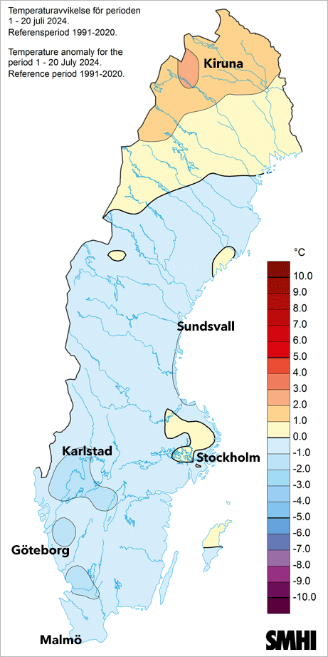
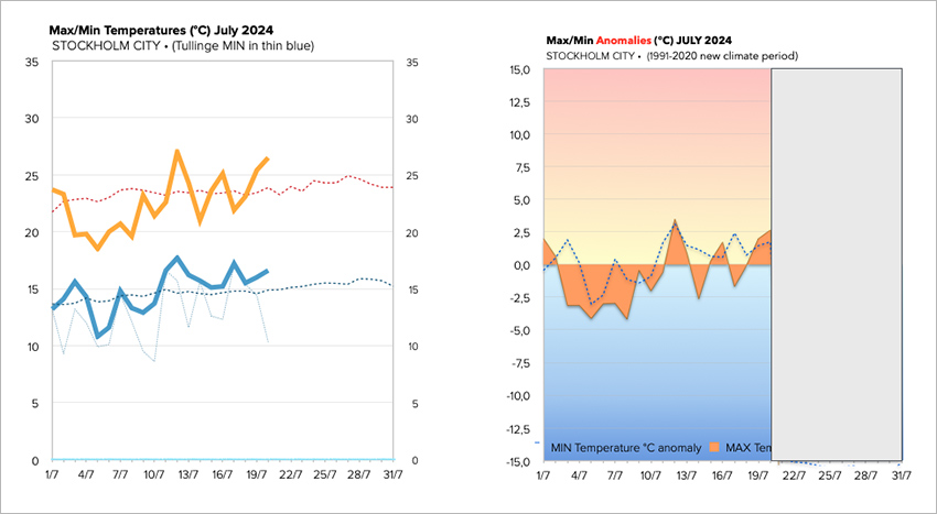
generally better and warmer here in Stockholm. The average temperatures of the first 20 days in July 2024, are now exactly +/- 0°C, e.g. normal - when compared with the 30 year climate period of 1991-2020. In other words, a totally normal summer month - which now that we are moving towards the end, summarizes into an average, typical Swedish summer month. Albeit a lot wetter than normal, i may add. With poorer sunshine hours in Stockholm which are still below normal (7.5 hours per day compared to 9.2 hours).


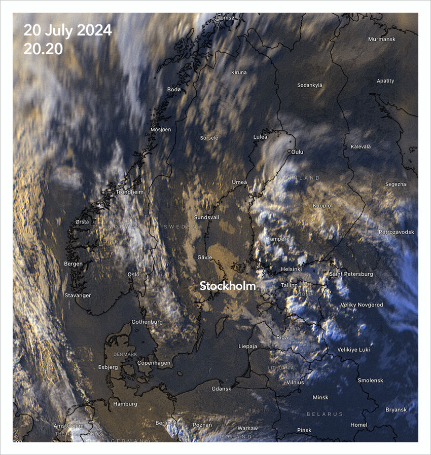
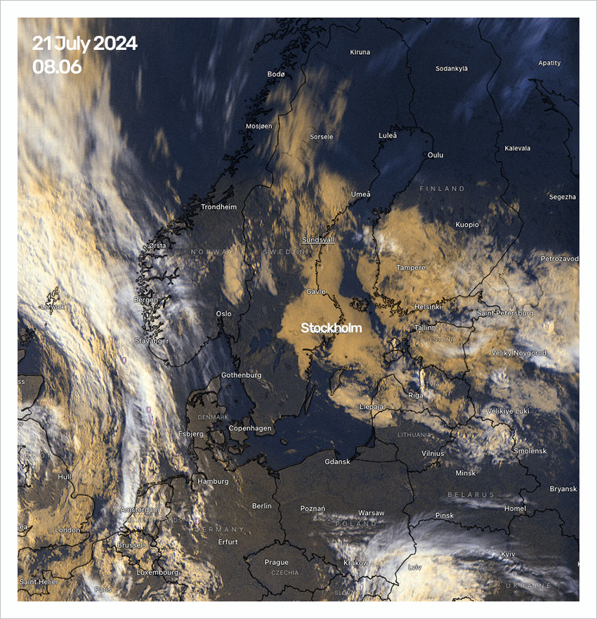
That is the question. I went to bed around 2 hours early morning from 04 to 06.30 - only to wake up to an overcast sky. So, what happened. Well the weakening, flat cyclone which earlier gave Sweden dull-ish overcast weather - but then pulled away towards Finland and West Russia - kind of pulled back. Or at least, it's remnants, the clouds attached to the ill-defined core, have lingered back into our region. In a satellite image it looks like this:
You can see the cloud masses covering Stockholm as well the entire east coast, and southern Finland, as well Estonia, Lithuania and the wider St Petersburg region. Some may dissipate during the day over our region, as i assume the thickness of the clouds shouldn't be so much. But one never knows...

It isn't cold by any means
but rather mild with 17°C at 08.00 here in Southern Stockholm. A very normal morning temperature during high season summer (End of July). It is also very easy for the temperatures to reach 20°C during this time, even when it is cloudy. Excerpt when you have a strong inflow of polar / arctic air coming from the north, it would be colder.
But we haven't had such inflow - thanks god. |

