When you look at the clouds over Europe...
or better said; the lack of clouds - you would assume that the continent has higher temperatures. But nope, it is actually pretty chilly in most countries despite the flooding sunshine. And perhaps unexpected you find the highest temperatures in a belt over middle Scandinavia reaching from the Oslo region to Stockholm, with temperatures up to 13°C. !
You have to go far to find higher temperatures in Europe, like Southwest France, Rome and Genoa - while the inland of Italy is colder (Turin 7°C, Bari 9°C). Even Catania brings it to "only" 14°C together with Rome, albeit the airport further out, reports 16°C. Catania had yesterday 20, and the day before 23°C and before that 25°C. (and earlier much colder). it was a brief swoop of warm air that passed through Southern and Southeast Europe briefly.
Barcelona reports 14°C today.
So, welcome to Spain up here in Stockholm *LOL*
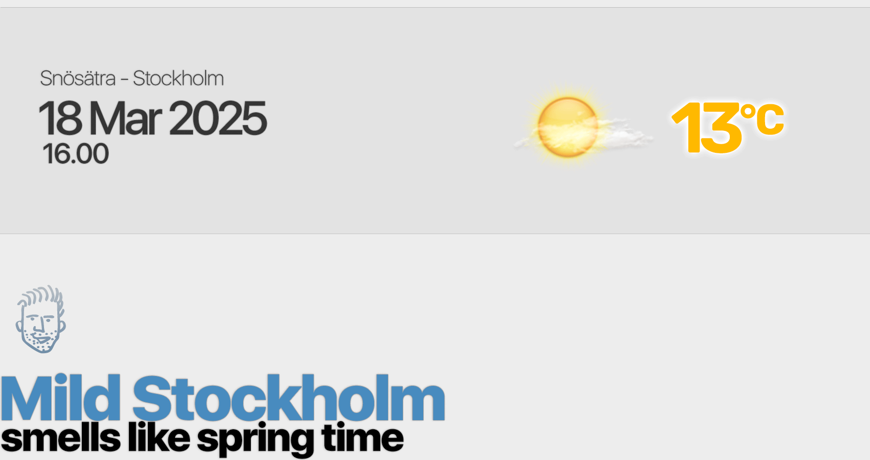
Well actually, the city of Stockhlolm itself "only" got 11°C. It was a bit away, west of Stockholm it reached 13°C.
But why ?!
Kind of strange that Stockholm of all places in this weather situation, would make it to almost 13°C - while most other places have colder temperatures.
It there a light impact of Föhn winds having a finger in the game, making temperatures rise slightly higher in our region ? I am not sure. Stockholm isn't exactly a region with Föhn winds, albeit sometimes the Norwegian mountains can create clear spaces which stretches all the way to our region sometimes.
Perhaps it is like this: under the influence of a warm air sector containing a milder airmass - and a well mixed atmosphere which pushes towards Stockholm in a westerly stream. After all we find 12-13°C temperatures in Iceland, Southern Norway and middle Sweden. (see second chart how the mild air flows).


While the rest of Europe
lies mainly under the influence of an earlier inflow of cold air, which now has come under high pressure influence. (It should quickly warm up in the next days, i assume). While we might get slightly lower temperatures again. Tomorrow 11°C, then following days predicted 9°, 9°, 9°C. Frost at night around 0°C.
Fascinating.
Here is the GFS outlook. Remember it can change quickly with them. It is an AI model thing. Changing all kinds of underwear at any time anew.

older prognosis model calculation • from 18 March, 06.00

newer prognosis model calculation • from 18 March, 12.00
|